
 Canada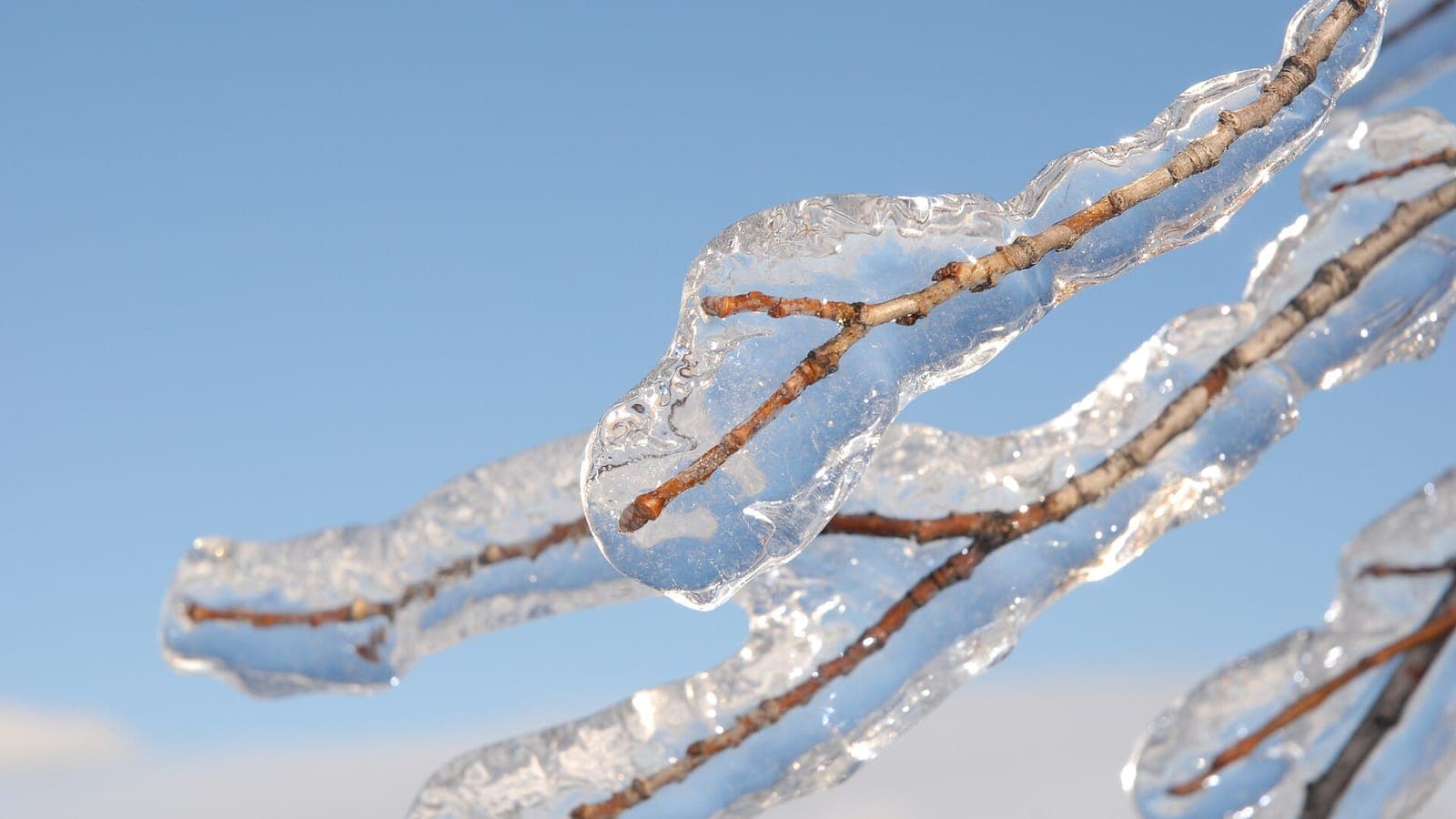
Canadians are used to snow. What arrived over Ontario and Quebec in the first week of January 1998 was something else: rain that froze on contact with everything it touched. By the time it stopped, trees, roads and the electricity grid itself lay under a glassy shell, and one of the country's largest peacetime emergencies was under way.
Six days of freezing rain
The storm began on 4 January 1998 and did not properly let up until the 10th. A normal freezing-rain episode in the St. Lawrence valley lasts a few hours and leaves a few millimetres of ice. This one came in waves, day after day, as a series of low-pressure systems tracked along the same path. Montreal received roughly 100 mm of freezing rain and ice pellets over the period, around double the amount of any previous ice storm on record for the city. Ottawa, Kingston and the Eastern Townships were hit almost as hard, and the storm reached into New Brunswick, upstate New York and New England.
The weight is what made it deadly. Ice built up on branches, wires and towers in layers several centimetres thick, and a single tree limb could carry hundreds of kilograms of it. Through the nights, residents described a constant crackle of breaking branches, like distant gunfire, as sugar maples and poplars split apart. Roads became skating rinks, and Montreal's downtown was closed off for a time because of ice falling from tall buildings. Around 30 people died in Canada, many from hypothermia or from carbon monoxide poisoning as they tried to heat their homes with generators and barbecues.
How rain freezes on the way down
Freezing rain needs a precise sandwich of air. Snow forms high up, falls through a layer of mild air where it melts into ordinary rain, then passes through a shallow layer of sub-zero air just above the ground. The drops do not have time to refreeze into pellets; instead they become supercooled and turn to ice the instant they touch a cold surface. If the cold layer is too deep, you get ice pellets or snow. If it is missing, you get plain rain. Freezing rain is what happens in the narrow zone in between.
In January 1998 that sandwich stayed in place for almost a week. A strong high-pressure system over the Arctic kept feeding dense, cold air southward, and the St. Lawrence and Ottawa valleys acted as a trough that trapped it near the surface. Above it, a stream of warm, moist air flowing north from the Gulf of Mexico kept sliding over the top. Because the boundary between the two air masses hardly moved, the same corridor was hit again and again. It was the persistence, rather than any single burst of weather, that broke the region.
When the pylons came down
Hydro-Québec's network was built to withstand serious ice, but not this. High-voltage lines sagging under ice can weigh many times their normal load, and when one tower buckles the strain cascades along the line. Around 1,000 steel transmission towers and some 35,000 wooden poles collapsed in Quebec alone, and at the peak roughly 4 million people across Quebec, Ontario and New Brunswick were without electricity in the depths of winter. South of Montreal, an area quickly nicknamed the ‘triangle of darkness’ around Saint-Jean-sur-Richelieu, Granby and Saint-Hyacinthe stayed dark for weeks.
The response was the largest deployment of Canadian troops in peacetime: around 16,000 soldiers under Operation Recuperation cleared roads, checked on isolated farms and helped restore power. Shelters opened in schools and arenas, and dairy farmers, unable to run milking machines, poured milk away. Montreal came close to losing its water supply when the pumping stations lost power. For some households in the hardest-hit areas the electricity did not return for more than a month, and ‘l'hiver du verglas’, the winter of the ice, became a fixed point in Quebec's collective memory.
What the ice taught Canada
The cost ran into billions of dollars, making the storm one of the costliest natural disasters in Canadian history. Hydro-Québec rebuilt its main lines to a stronger standard, added new transmission corridors so that Montreal no longer depended on a handful of routes, and reinforced towers so that a single failure could no longer topple a whole line. Households bought generators and wood stoves; municipalities wrote emergency plans that had not existed before. The storm also changed how warnings are communicated, with more emphasis on the duration and accumulation of ice, not just its arrival.
The maple forests carried the scars longest. Millions of trees lost crowns and limbs, and sugar-bush owners in Quebec and eastern Ontario, who tap maples each spring for syrup, faced years of reduced harvests. Yet ice storms are a natural part of the region's climate: the corridor from Kingston to Quebec City sees freezing rain more often than almost anywhere else in North America because of its valley geography and its position between Arctic and Atlantic air. The 1998 storm was not a freak so much as an extreme version of a familiar visitor.
Walk through Montreal or the Eastern Townships today and you will still notice it: the odd, flat-topped maples that regrew after losing their crowns, the sturdier pylons striding across the fields south of the city, and the reflex with which locals scan the forecast for the word ‘verglas’. When freezing rain is coming, Quebecers do not shrug. They remember.
 Spain
Spain
 Indonesia