
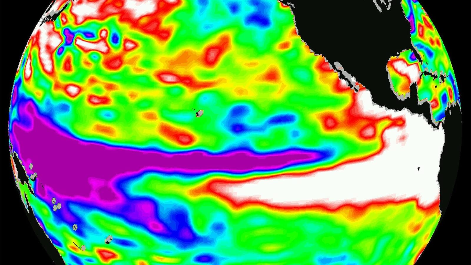
Every few years the tropical Pacific Ocean changes its mind. Its winds slacken, warm water drifts east, and weather patterns thousands of kilometres away shift with it. El Niño is the biggest natural swing in our planet's year-to-year climate, and once you understand it, a surprising number of weather headlines start to make sense.
Warm water on the move
In a normal year, the trade winds blow steadily from east to west across the equatorial Pacific. They push sun-warmed surface water towards Indonesia and Australia, where it piles up into a deep 'warm pool', while off the coasts of Peru and Ecuador cold, nutrient-rich water wells up from below. That cold upwelling feeds one of the richest fisheries on Earth, and the warm pool in the west fuels towering thunderclouds and heavy rain.
During El Niño the trade winds weaken, and sometimes even reverse. The warm water slides back east, the upwelling off South America is smothered, and the big rain clouds follow the heat towards the central and eastern Pacific. Fishermen in Peru noticed the warm current long ago, by most accounts as early as the 1600s, and because it tended to appear around Christmas they named it El Niño: the Christ child.
How scientists keep score
To decide whether an El Niño is under way, forecasters watch one particular stretch of ocean: the Niño 3.4 region, a box along the equator roughly between 170°W and 120°W. The key yardstick is the Oceanic Niño Index (ONI) used by the US agency NOAA, a three-month average of how much warmer or cooler the sea surface there is than normal. When it stays at least 0.5 °C above normal for several overlapping seasons, an El Niño is declared.
El Niño is only half of the story. Scientists speak of ENSO, the El Niño–Southern Oscillation, because the ocean warming goes hand in hand with a seesaw in air pressure between Tahiti and Darwin in northern Australia, described by the British scientist Gilbert Walker in the 1920s. The opposite phase is La Niña, the cold sister: stronger trade winds, a cooler eastern Pacific and, in many places, the reverse of El Niño's effects. Episodes typically recur every two to seven years.
A ripple around the globe
When the Pacific's rain machine moves east, Indonesia and much of Australia lose their usual moisture. Drought, poor harvests and bushfires become more likely, and in 1997 and again in 2015 huge peat and forest fires in Indonesia filled Southeast Asia's skies with haze. On the other side of the ocean, the normally bone-dry coasts of Peru and Ecuador can be hit by torrential rain, floods and mudslides, while the loss of cold upwelling hurts the anchovy catch.
The effects travel much further through the atmosphere. El Niño tends to strengthen high-altitude winds over the tropical Atlantic, and that extra wind shear usually means a quieter Atlantic hurricane season. Parts of northern North America often get a milder winter, while the southern United States tends to be wetter. In India the summer monsoon has a tendency to be weaker, although not every El Niño year brings drought. And because the Pacific releases so much heat, global average temperatures typically rise.
The giants, and the next one
Some El Niño events stand out. The 1982–83 episode arrived largely unforecast and brought floods and droughts to several continents. The 1997–98 event was one of the strongest ever measured and helped make 1998 the warmest year on record at the time. In 2015–16 another giant pushed 2016 to a new global record, and the El Niño of 2023–24 contributed to 2023 and 2024 becoming the two warmest years since measurements began.
The shock of 1982–83 led to a network of moored buoys across the equatorial Pacific, the TAO array. Together with satellites and computer models, it now lets forecasters see an El Niño coming months ahead. That lead time matters: farmers can choose their crops, governments can prepare for fires or floods, energy companies can plan for demand and aid agencies can stock supplies. Forecasts are still hardest in the northern spring, when the ocean seems to hesitate before choosing a direction.
You don't need to live near the Pacific to feel El Niño. It can mean a smoky sky in Singapore, a dry summer in Queensland, a soggy winter in California, a quiet hurricane season in the Caribbean or an unusually warm year worldwide. So when forecasters announce that El Niño or La Niña is on the way, it is worth listening: the ocean is telling you something about the months ahead.
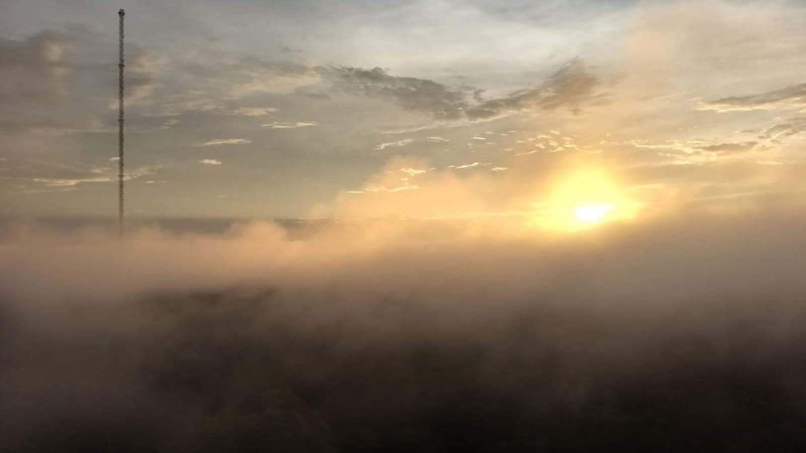
 Brazil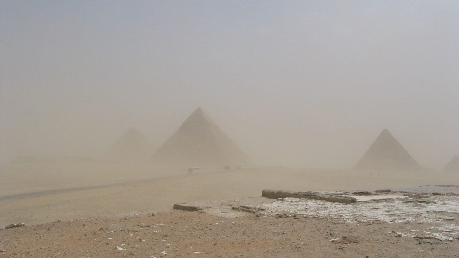
 Egypt
Egypt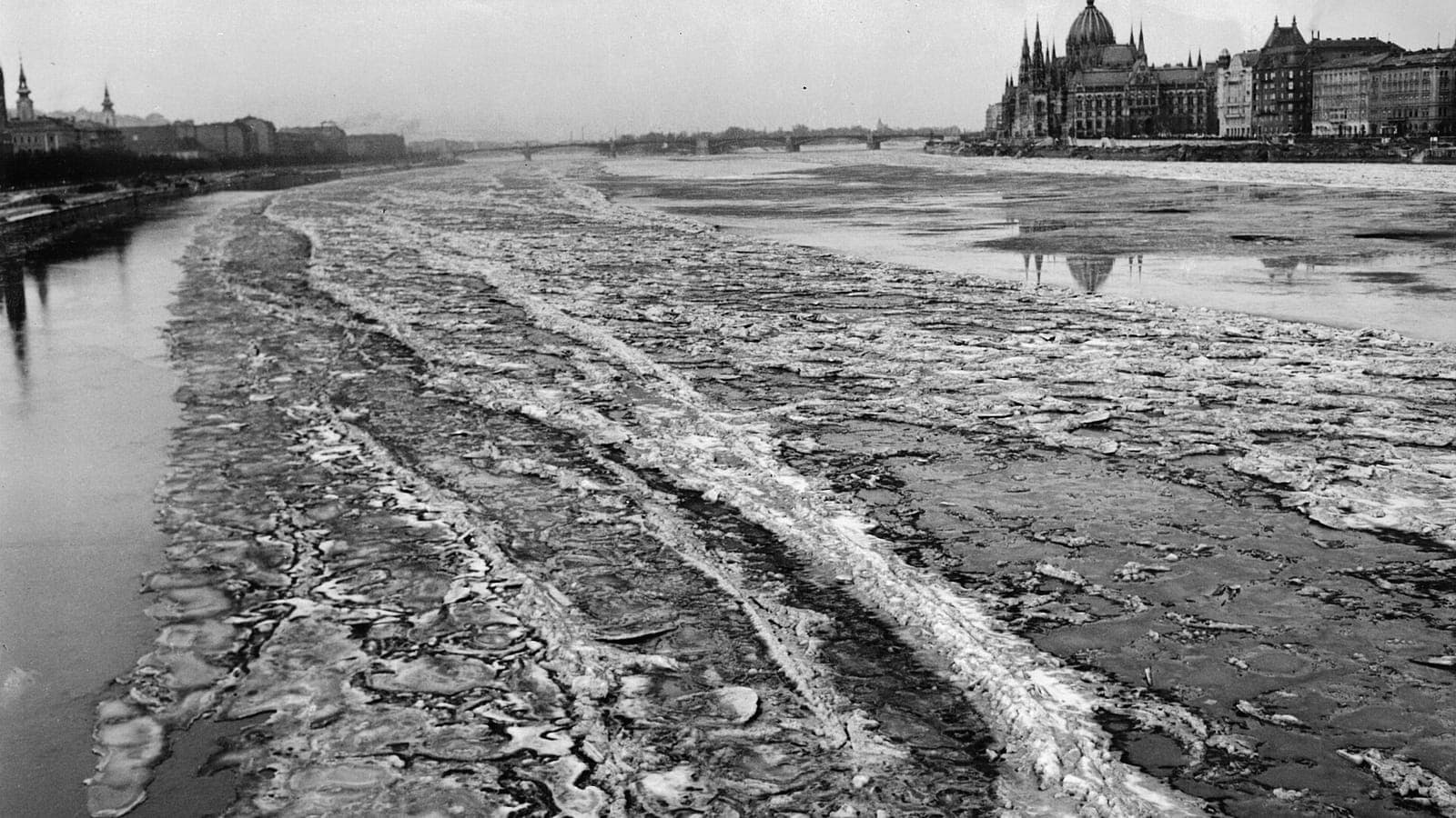
 Hungary