
 Mexico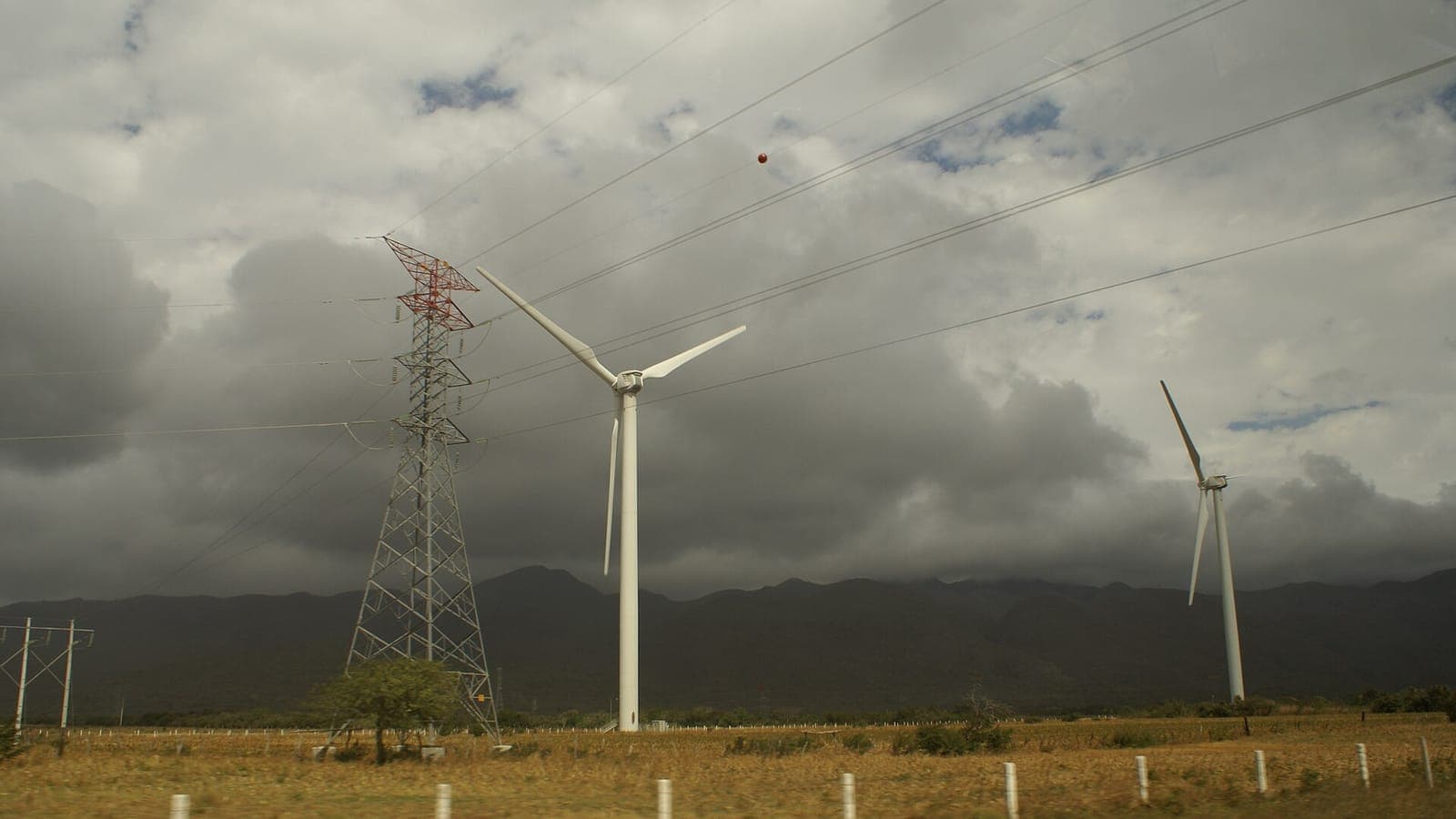
Mexico's Gulf coast is tropical, humid and warm for most of the year. Yet between autumn and spring, the port of Veracruz and its neighbours regularly brace for the norte: a burst of cold northern air that arrives with a roar, whips up the sea and drops the temperature within hours. It is one of the most distinctive weather events in the country.
Cold air with a long journey
A norte begins far away, on the plains of Canada and the United States, where dense cold air piles up in winter. When a strong cold front pushes south, nothing on the flat interior of North America stops it. The front slides across Texas, reaches the Gulf of Mexico and keeps going, carrying cool, dry air deep into latitudes that are normally warm all year.
On the coast the change is abrupt. A muggy, still morning with southerly breezes can give way to a sudden shift in the wind, a dark line of cloud and gusts from the north. Temperatures can fall sharply in a few hours, rain or drizzle often follows, and the sea turns grey and rough. The season usually runs from about October to March, with several nortes in a typical winter.
A mountain wall that funnels the wind
Geography makes Mexico's nortes stronger than the same fronts would be elsewhere. The Sierra Madre Oriental rises steeply behind the Gulf coastal plain, and cold air, being heavy, cannot easily climb it. Instead it is trapped against the mountains and channelled southward along the coast, speeding up like water in a narrow riverbed. Meteorologists call this kind of low-level current a barrier jet.
The result is felt most in Veracruz, where the harbour and the long seafront promenade take the full force of the wind. Waves spray over the malecón, the port authorities often close the harbour to shipping, and fishing boats stay tied up. In the age of sail, the norte was one of the most feared hazards for ships arriving at Veracruz, a harbour notoriously exposed to northern gales.
The wind that jumps an ocean gap
The story does not end at the Gulf. At the Isthmus of Tehuantepec, Mexico narrows to its thinnest point, and the mountains drop to a low pass near Chivela. When a norte builds high pressure over the Gulf, the air pours through this gap towards the Pacific, where pressure is lower. Locals call it the tehuano; sailors know it as the Tehuantepecer.
On the Pacific side the wind can blow at gale force for days under a clear sky. It pushes warm surface water away from the shore, so colder water wells up from below, and satellites show a plume of cool sea stretching far out into the Gulf of Tehuantepec. The same reliable wind has made the area around La Ventosa and Juchitán, in Oaxaca, one of Mexico's main centres for wind farms.
When a norte meets heavy rain
A norte is not always just wind and a cold snap. When cold air runs into moist tropical air over the southern Gulf, it can squeeze out enormous amounts of rain on the slopes of Veracruz, Tabasco and Chiapas. Early in the season, when the sea is still warm and rivers are full after the summer rains, that combination can be especially dangerous.
In late October and early November 2007, persistent heavy rain linked to a cold front fell over the basins of the Grijalva and Usumacinta rivers. The floods that followed covered much of the state of Tabasco, including large parts of the capital, Villahermosa, and forced hundreds of thousands of people from their homes. It remains one of the worst natural disasters in modern Mexican history.
Spend a winter in Veracruz and you learn to read the signs: an unusually calm, sticky morning, a haze on the horizon, then a sudden north wind that sends people reaching for jackets and fills the malecón with spray. Locals will tell you a norte is coming before the forecast does, and within a day or two the tropical warmth usually returns.
 Sweden
 United Arab Emirates