
 South Korea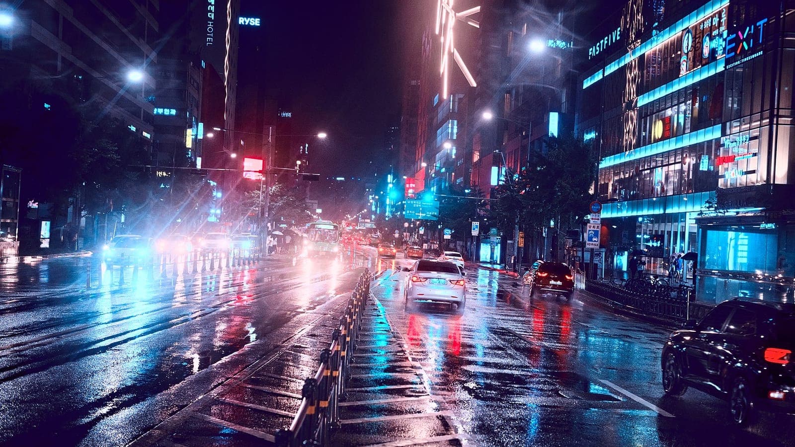
Koreans have a word for the season when the umbrella never leaves the doorway: jangma, the long rain. It arrives each summer as reliably as the cicadas, and it is followed by the months when typhoons swing north from the Pacific. One of them, Typhoon Sarah, struck on the day of Chuseok in 1959 and is still remembered as one of the worst storms in the country's history.
A front that stalls
Jangma is Korea's share of the East Asian summer monsoon, the same rainy season that China calls meiyu and Japan calls baiu. In early summer, warm, moist air around the North Pacific high pushes north-west, while cooler air lingers over the Sea of Okhotsk and northern Asia. Where the two meet, a long, narrow rain front forms and stretches for thousands of kilometres from China across Korea to Japan. Because neither air mass is strong enough to shove the other aside, the front can hover in place for days at a time.
The rain usually reaches Jeju Island around the middle of June, then the southern provinces, and Seoul and the central region towards the end of the month. For roughly a month the front wobbles north and south like a loose rope, bringing grey drizzle one day and torrential downpours the next, with dry breaks in between. Some time in late July the Pacific high finally wins, pushes the front north towards Manchuria, and the season ends. What follows is not relief, but heat.
Living with the long rain
Korea receives roughly half of its yearly precipitation in summer, and jangma is a large part of that. Everyday life adapts: rain boots crowd the shoe racks, laundry dries slowly indoors, and dehumidifiers hum in apartments where mould can creep into wardrobes. Koreans even speak of 'guerrilla rain' for the sudden, violent downpours that burst out of a heavy sky and drench one district while the next stays dry. Mountain streams can swell within an hour, which is why hikers are warned away from valleys.
The length of the season varies a great deal. In 2020 the rains over the central region lasted 54 days, the longest since comparable records began in 1973. When jangma ends, the Pacific high takes over completely: August brings steamy heat, tropical nights when the temperature barely drops, and afternoon thunderstorms. Forecasters have also noticed that heavy rain increasingly falls outside the official season, so the old picture of one tidy rainy month looks less and less reliable.
The typhoon that came on Chuseok
Late summer and early autumn belong to typhoons. Most of those that reach Korea arrive in August and September, curving north past Taiwan and Okinawa before sweeping over the peninsula or the seas around it. Typhoon Sarah formed over the western Pacific in early September 1959 and grew into an exceptionally powerful storm, passing close to Japan's Miyako Island on its way north. On 17 September it struck Korea's southern coast and tore north-east across the Gyeongsang provinces towards the East Sea.
The date made it worse. 17 September 1959 was Chuseok, the harvest festival, when families gather to honour their ancestors and share the first rice of the year. Instead of full tables, many woke to roofs torn away, flooded paddies and boats smashed in their harbours. Hundreds of people died or went missing, and many thousands of homes were destroyed. Only six years after the Korean War armistice, much of the housing was light and fragile, and the country had few resources with which to rebuild.
A yardstick for every storm since
Sarah became the measure against which later typhoons were judged, and for decades a big storm was described by how close it came to Sarah. In September 2003 history seemed to repeat itself when Typhoon Maemi hit the south coast during the Chuseok holidays, with ferocious winds on Jeju, a storm surge that flooded parts of Masan, and gusts that toppled giant container cranes in the port of Busan. Once again, families travelling home for the festival found themselves in the path of a typhoon.
The contrast between the two storms shows how much has changed. In 1959 warnings reached people slowly, often by radio and word of mouth. Today the Korea Meteorological Administration follows typhoons by satellite and radar days in advance, and emergency text alerts reach every mobile phone in a threatened area. The geography, however, is the same: the peninsula still lies right on the track of storms curving north from the Pacific, and the south coast still takes the first blow.
Visit Korea in July and you will see the legacy in small things: cheap umbrellas sold at every subway exit, deep drainage channels beside mountain paths, windows fogged by air conditioning. People check the position of the jangma front the way others check for snow. And when a typhoon approaches in September, especially around Chuseok, older Koreans still bring up Sarah.
 Portugal
 Brazil